Services
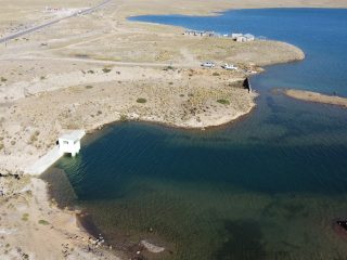
Design of Hydraulic Structures
Our team investigates the anticipated performance of hydraulic structures through numerical models and hydrodynamic and sedimentation studies. We have extensive experience in modeling with HEC-RAS, OpenFOAM, TELEMAC, Flow3D, and Delft3D tools to simulate the impact of hydraulic structures on water flow and its geomorphological impact.
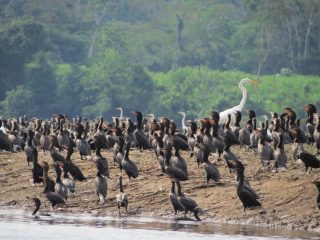
Landscape Ecology, Conservation and Biodiversity
We work on the evaluation of environmental contamination, invasive species, deforestation, and the causality of species and/or population declines with an emphasis on threatened or endangered species. Our team studies the patterns and possible configurations of the landscape and develops population models to understand the habitat requirements of species at risk.
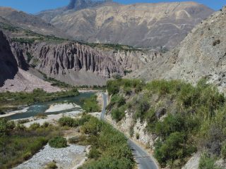
Hazard Identification and Risk Assessment
We provide services in hydraulics, hydrology, floodplain morphology in riparian and coastal environments, and socio-environmental characterization to develop models that adequately estimate risk and improve land use planning and management, infrastructure design, and risk mitigation. Our methodological approach includes environmental remote sensing, field monitoring, and mathematical modeling.
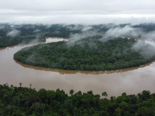
Geomorphology, Geosciences, and Sediment Transport
Our services include remote sensing applications and field measurements to characterize geomorphic patterns to track disturbances in the landscape at different time scales. Our approach integrates field and laboratory studies, landscape mapping using conventional topography combined with drones and LiDAR techniques, and the application of mathematical models at different scales.
Water Resources Management
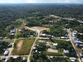
We aim for better-informed decisions through science-based evidence and evaluating management effectiveness, thus preventing potential socio-environmental impacts. Our approach includes reviewing components, such as basin characteristics, hydrologic and hydraulic analysis, sediment dynamics, human interventions, water quality, water balance, and ecological studies.
Hydrometrics and Field Surveys
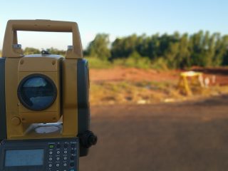
Our services include mean and turbulent flow measurements, topography and bathymetry, water and sediment sampling, and the design of automated monitoring networks to describe fluvial hydrodynamics, sediment transport, and geomorphology at different scales of time and space. Our techniques are suitable for rivers with high slopes (Andean areas) and low slopes (Amazonian floodplains).
River Engineering
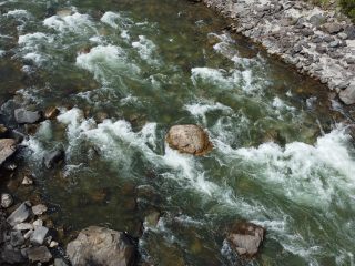
Our services include river restoration (morphology and functionality), characterization of hydrographic basins and corridors, infrastructure design (grey, green and natural) and impact on ecosystem services. We work on the implementation of restoration strategies based on the understanding of natural processes such as fluvial morphology, aquatic organisms and biogeochemical processes.
CFD and Numerical modeling
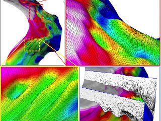
We develop numerical models for the evaluation of the infrastructure installed in rivers, such as riparian protection works, transport of suspended and bottom sediments, flood mapping, erosion control, and flood risk assessment. Our team applies high-performance computing tools to enable full-scale simulations.

Expert Services
Our services include advising on the design of grant proposals, reviewing academic and research papers, and organizing academic events. In addition, we have extensive experience in organizing academic events at a local and regional levels.
